


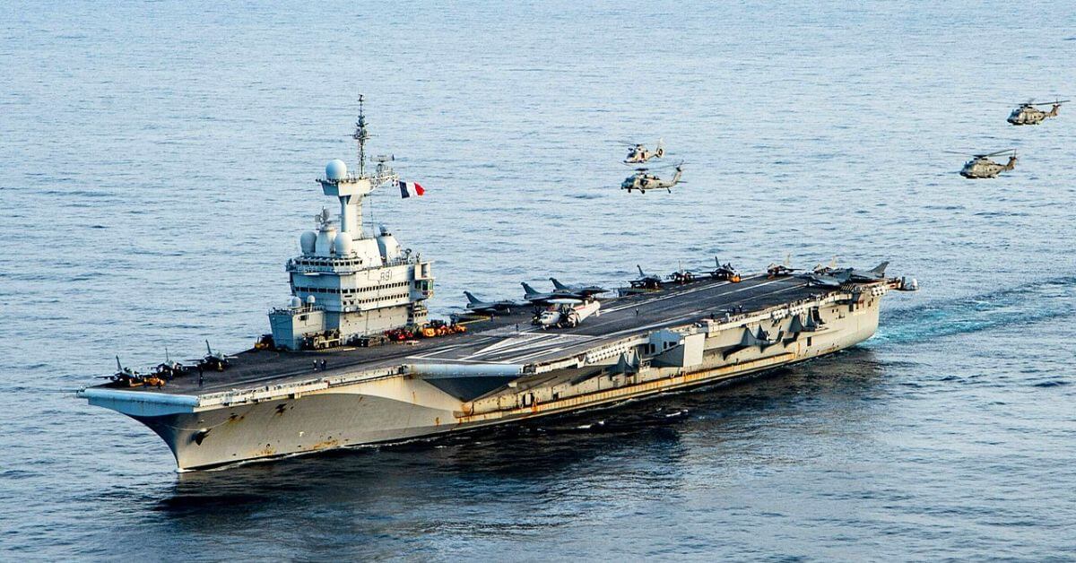
A French naval officer accidentally revealed the real-time location of the aircraft carrier Charles de Gaulle after logging a workout on the fitness app Strava.
The incident happened on March 13 in the eastern Mediterranean, at a time when tensions were already high due to the Iran conflict. The upload made it possible for anyone to track the warship near Cyprus.
According to Le Monde, the officer recorded a 35–36 minute run on the ship’s deck using a smartwatch. The run covered more than 7 km (about 4.3 miles) on the 262-meter-long carrier.
Since the activity was posted on a public profile, it created a GPS map that clearly showed the ship’s position, around 100 km (62 miles) off the Turkish coast, northwest of Cyprus.
Satellite images later confirmed the location along with the rest of the carrier group.
The Charles de Gaulle is France’s main warship and the only nuclear-powered aircraft carrier outside
Content Original Link:
" target="_blank">


